The Ho West District Assembly was established by the Legislative Instrument, 2012 (L.I.2083) which is the highest political and administrative authority in the District. It was carved out of Ho Municipal in January, 2012 and inaugurated in June, 2012.
Ho West is located between latitudes 6.33o 32” N and 6.93o 63” N and longitudes 0.17o 45” E and 0.53o 39” E. It shares boundaries with Adaklu District to the South, Afadjato South to the North, Ho Municipal and the Republic of Togo to the East and South Dayi District to the West. It has a total land area of 1002.79 square kilometers and a population density of 111.8, which means on the average there are about 112 persons per square kilometer in Ho West District. It has about two hundred and three (203) communities
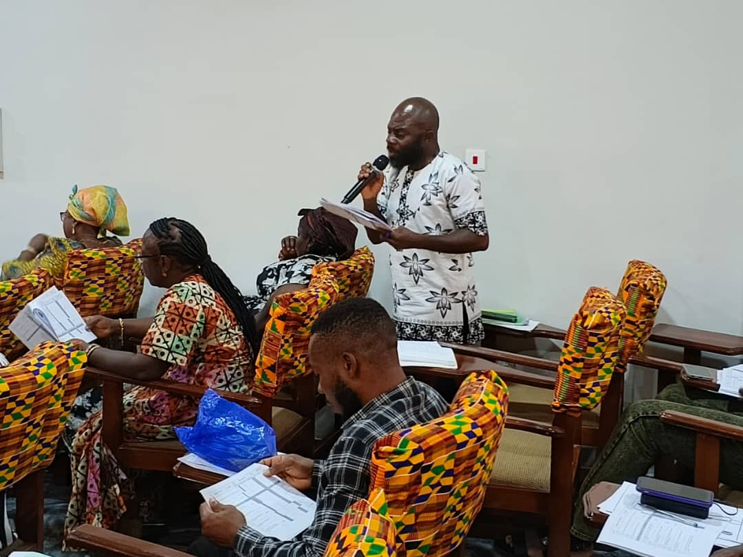
The District Chief Executive for Ho West, Hon. Francis Profer Dusey, on Wednesday, 10th December 2025, held a stakeholder engagement with commercial motorcycle riders popularly known as “Okada,” at the ...
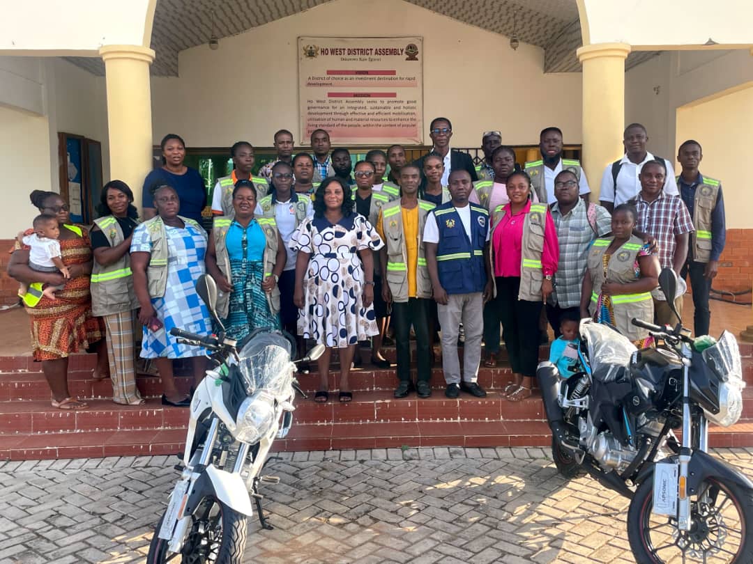
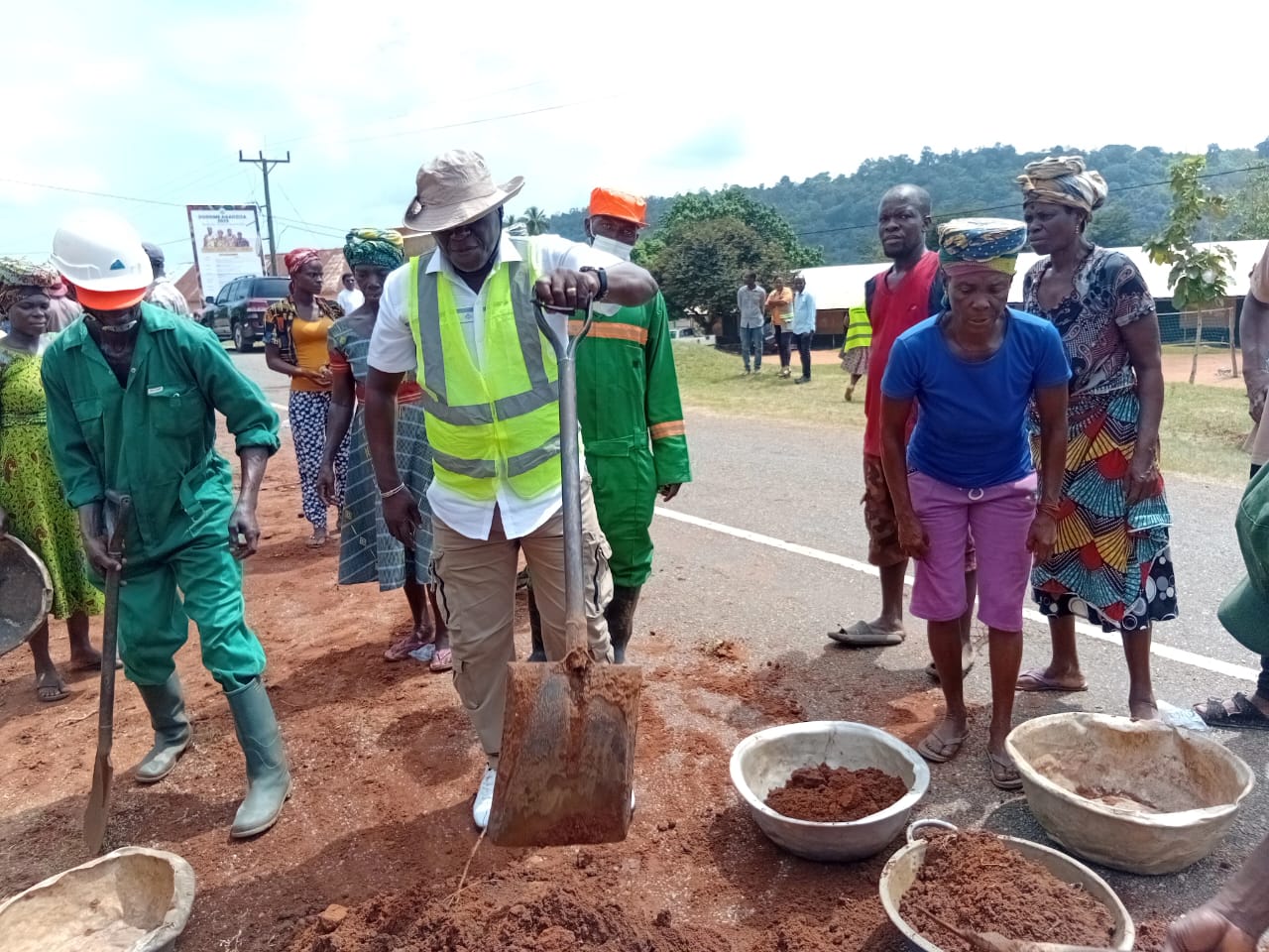
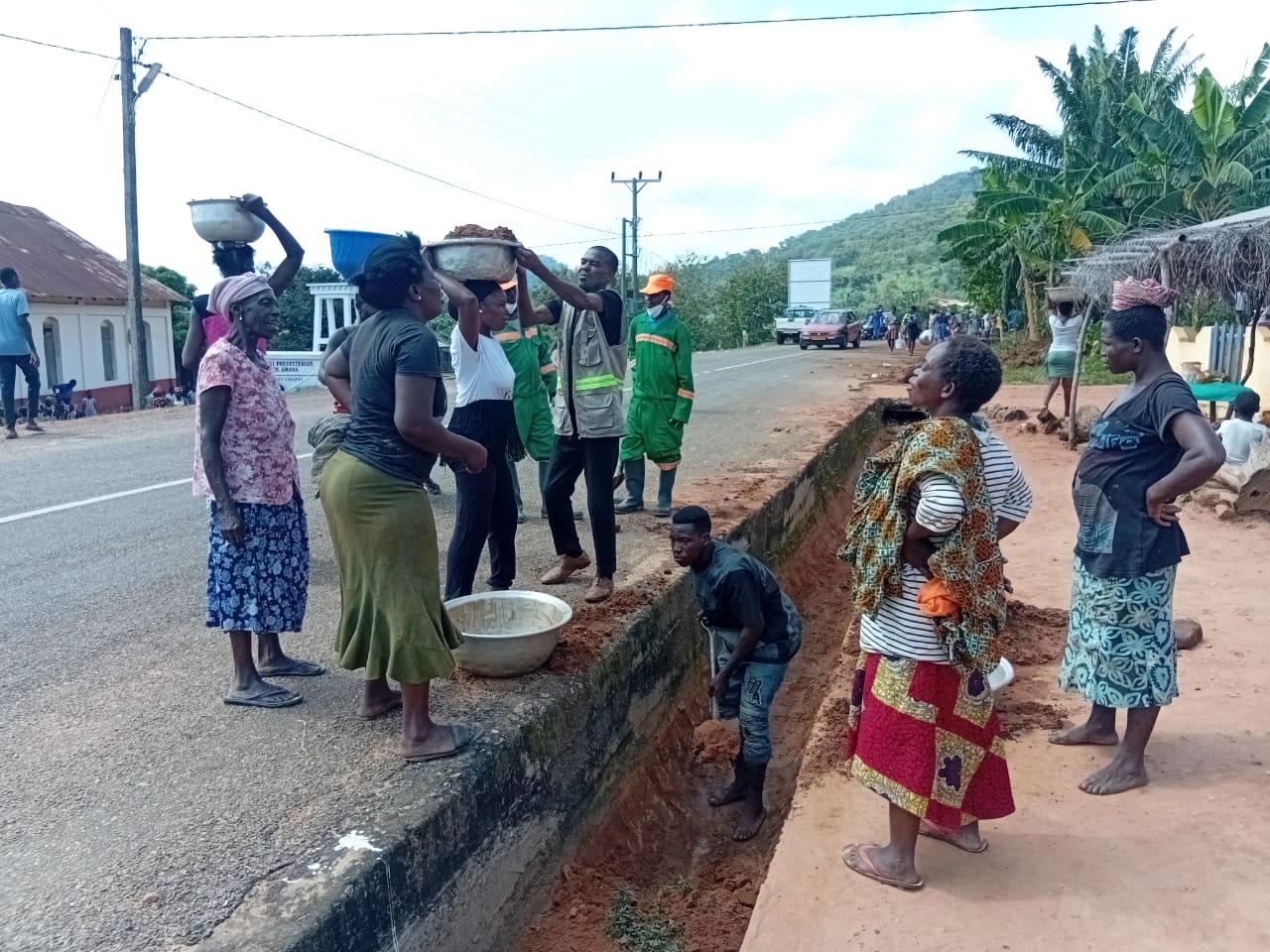
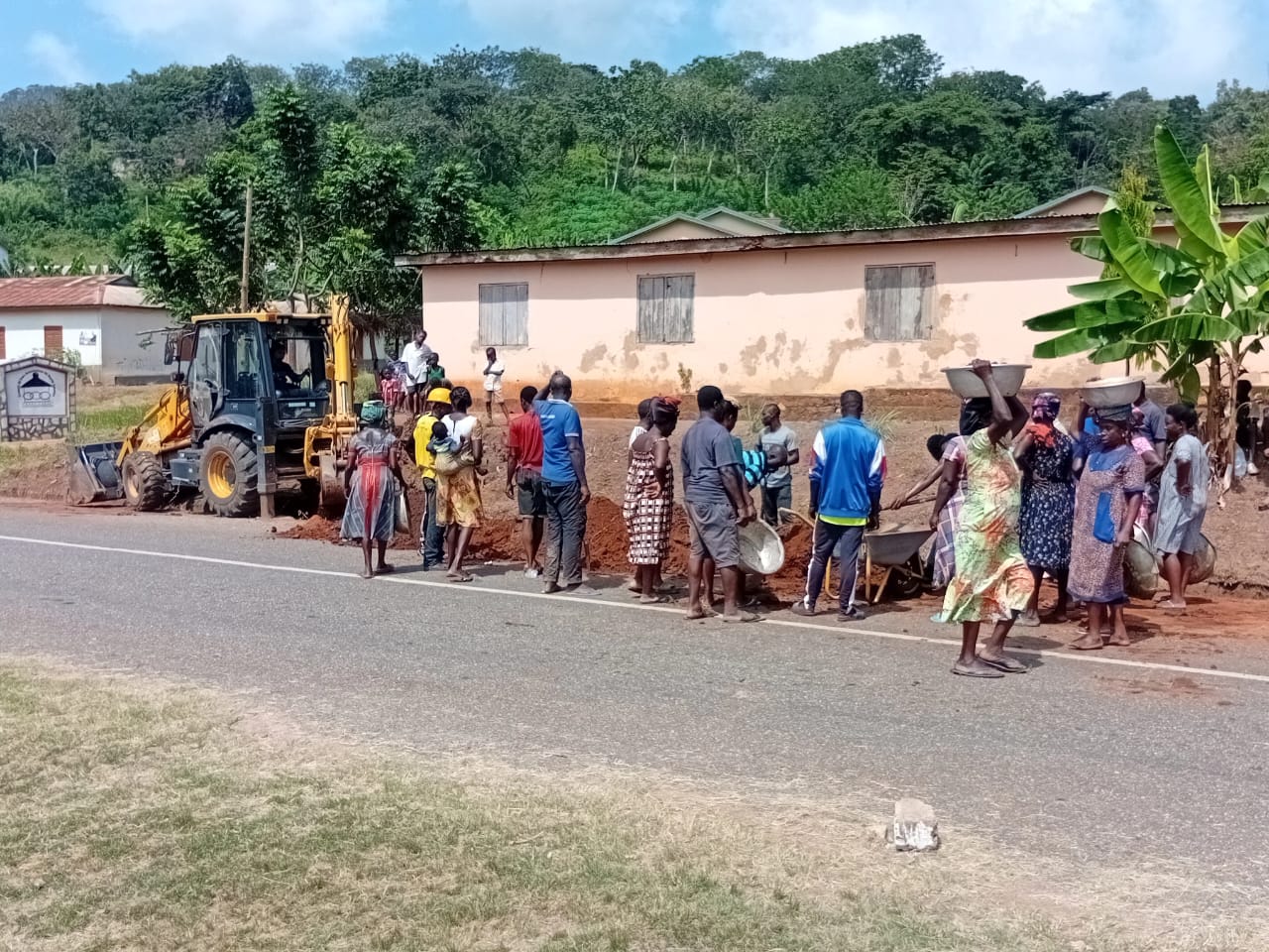
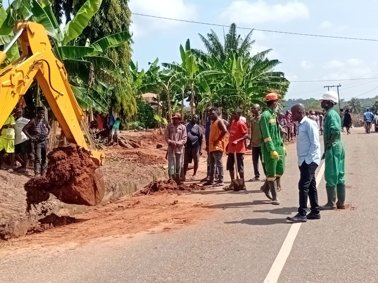
On 6th December 2025, the Ho West District Assembly collaborated with residents of Anfoeta Gborgame, Anfoeta Tsebi, and Wodamaxe to carry out the monthly Sanitation Day exercise in the communities. ...
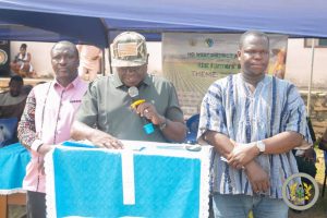
The Ho West District has demonstrated its rising prominence as an investment hub in the Volta Region, when the district took center stage at the 2025 Volta Trade and Investment ...
The Ho West District Assembly has supported seventy-one (71) Persons with Disabilities (PWDs) as part of ongoing efforts to improve livelihoods and promote economic independence among vulnerable groups in the ...
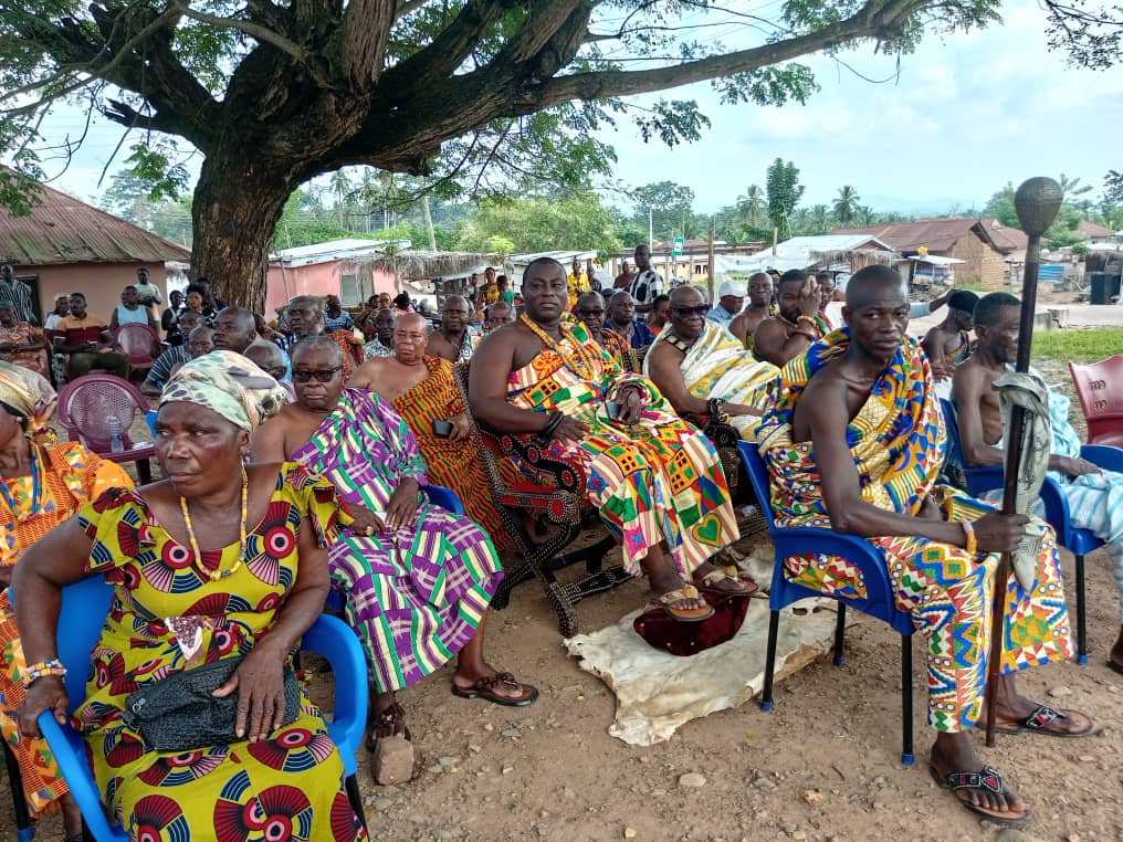
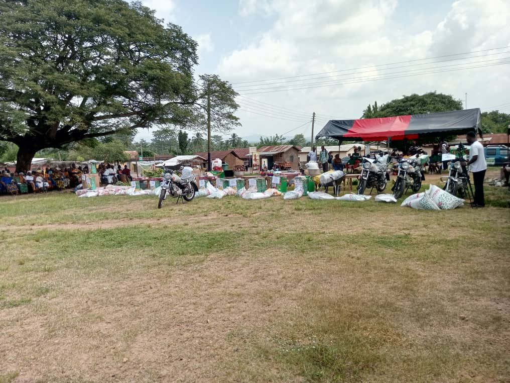
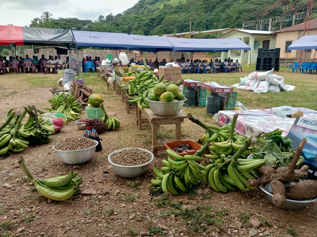
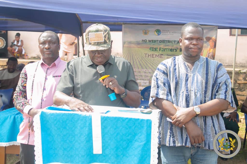
The Ho West District Assembly on Thursday, 27th November 2025, celebrated the 41st Farmers’ Day at Awudome Kwanta to recognise hardworking farmers who continue to play a pivotal role in ...
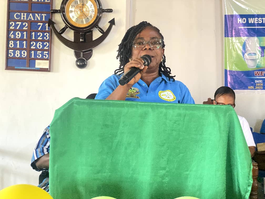
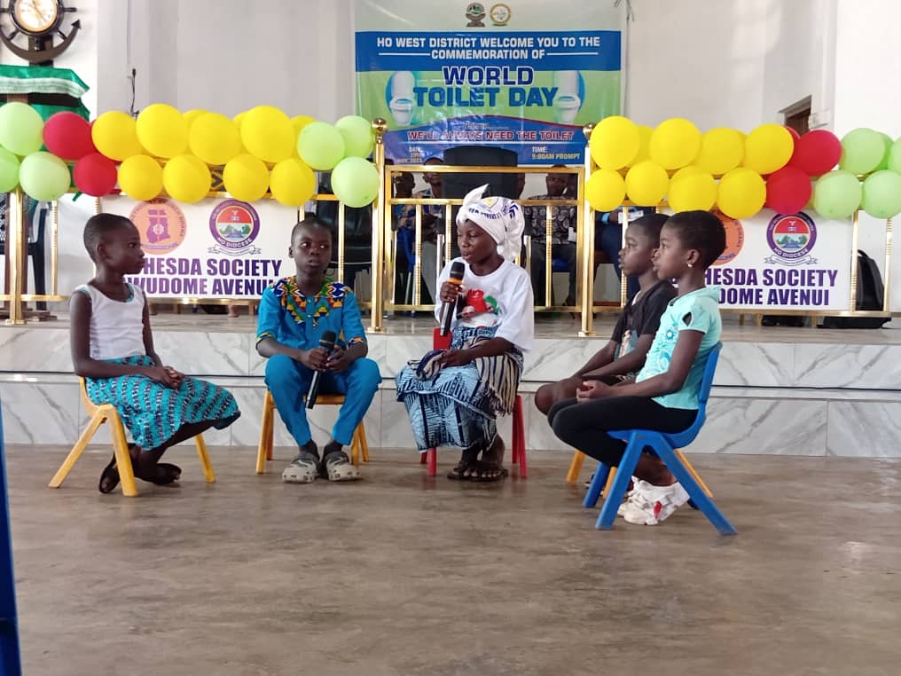
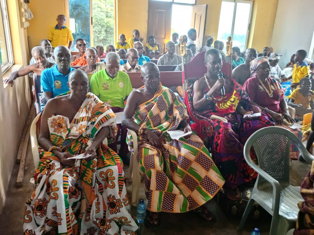
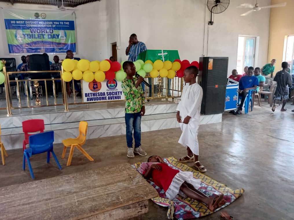
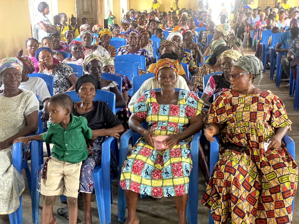
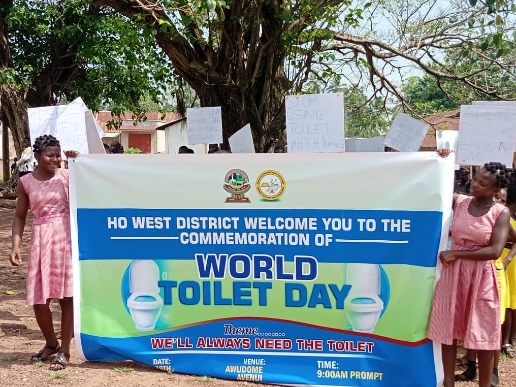
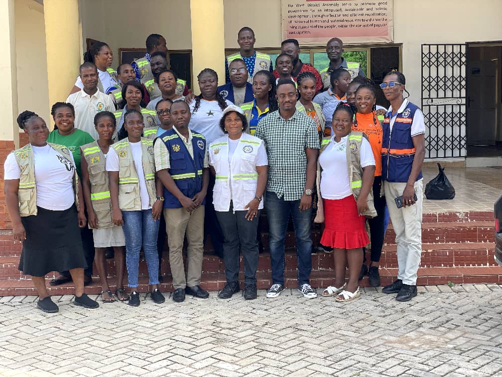
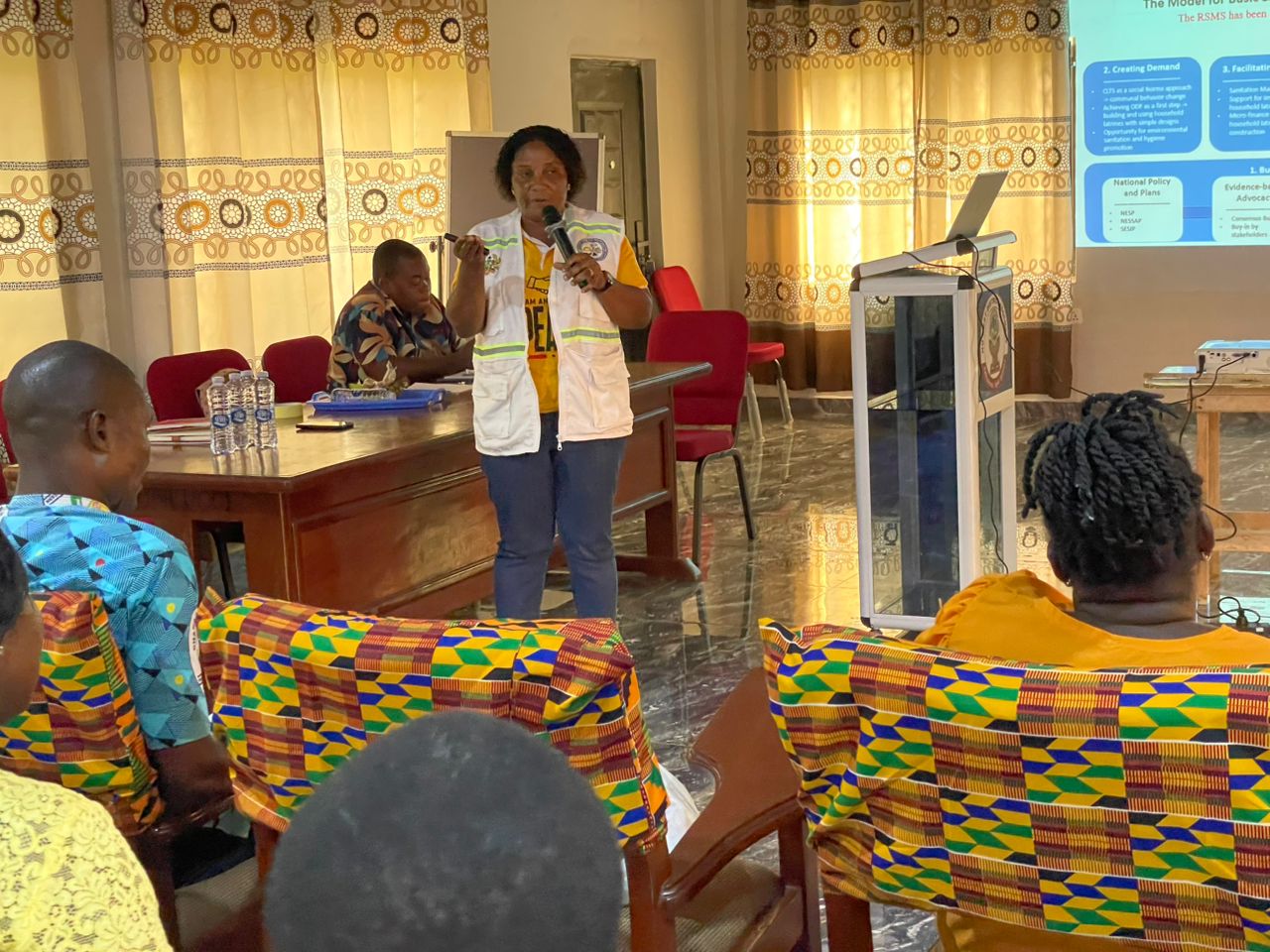
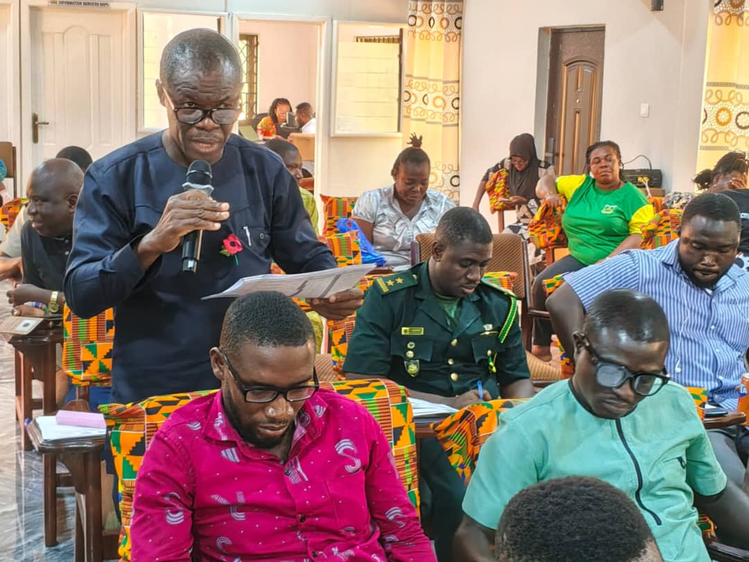
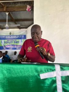
The Ho West District Assembly on 19th November 2025 observed World Toilet Day at the Awudome Avenui Methodist Church under the theme “ We will Always Need a Toilet.” The ...