About Us
The Ho West District Assembly was established by the Legislative Instrument, 2012 (L.I.2083) which is the highest political and administrative authority in the District. It was carved out of Ho Municipal in January, 2012 and inaugurated in June, 2012.
Ho West is located between latitudes 6.33o 32” N and 6.93o 63” N and longitudes 0.17o 45” E and 0.53o 39” E. It shares boundaries with Adaklu District to the South, Afadjato South to the North, Ho Municipal and the Republic of Togo to the East and South Dayi District to the West. It has a total land area of 1002.79 square kilometers and a population density of 111.8, which means on the average there are about 112 persons per square kilometer in Ho West District. It has about two hundred and three (203) communities
Population Structure
The population size, structure and distribution of Ho West District provided by Ghana Statistical Service (projection for 2020) PHC a total population of the District as 119,963 This is made up of 59,030 males (49.2%) and 60,933 females (50.8 %)
The population growth rate of the District stands at 2.5 percent. The age-sex structure of the district’s population depicts relatively younger population which has serious implication for planning and decision making with regards to provision of social amenities such as school, hospital and portable water among others.
Rural/Urban Split
The population of the District is basically rural and about 89.1% representing 12,216.38 people reside in the rural areas while the remaining 10.9% representing 99,868.63 people can be found in only two main towns of the District namely Tsito, and Kpedze. Apart from these two towns, the other settlements have their population figures below 5000.
The average household size in the District is 4.0 persons which is lower than the regional and national average household’s sizes of 4.3 and 4.5 respectively. This implies that in terms of housing accommodation there are no pressures on the rooms as compared to the urban areas.
Climate
Mean temperature in the District range between 220 C and 320 C while annual mean temperature ranges from 16.50 C to 37.8 C. In effect, temperatures are generally high throughout the year which is good for plants and food crop farming. It is however very low (16.60c) around Amedzofe and its peripheral communities and this make it a preferred destination for most tourist who visit the region.
The rainfall pattern is characterized by two rainy seasons referred to as the major and the minor seasons. The major season being March to June while the minor one from July to November. The rest of the year is referred to as dry season. Mean annual rainfall figures are between 120.1mm and 192mm. The highest rainfall occurs in June and has mean value of 192mm while the lowest rainfall is in November recording about 120.1mm.
Festivals
The traditional areas are endowed with some cultural practices and festivals.
- The Yam festival is celebrated by the people of Awudome traditional area, the Kimini festival for the Chief and people of Avatime.
- Traditional drums and dances such as Adabatram, Zigi, Borborbor and Zagada are also enjoyed by the traditional people.
These are rich cultural heritage which could be given needed impetus for tourism development.

TOWN / AREA COUNCILS
The various area councils in the Ho West District
Key Things To Note In Ho West District
-

- Great Agricultural Potential

-

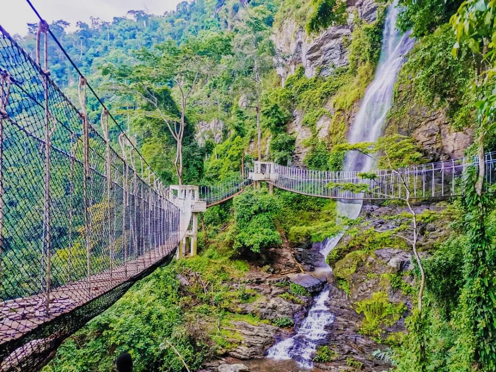
- Canopy Walkway at Amedzofe
-

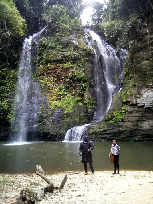
- Great Tourism Potential